Published: December 18, 2019
Updated: March 13, 2026 at 06:42PM
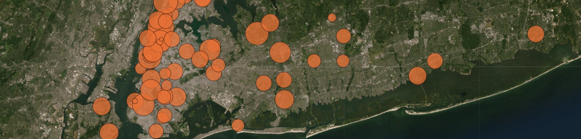
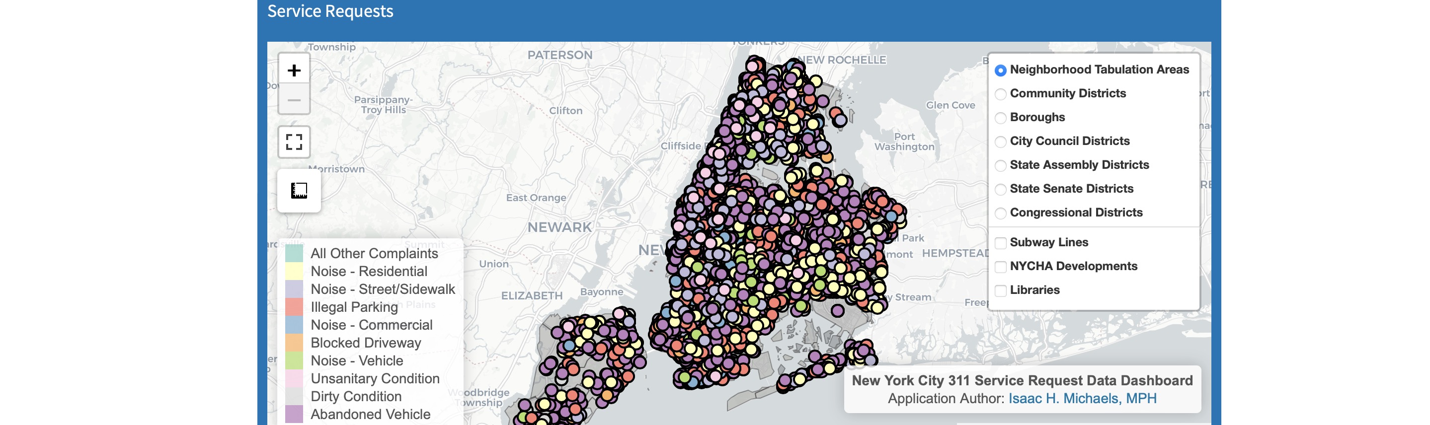
This page presents an interactive map that displays the locations of healthcare facilities in New York State. The map allows users to zoom in and out, pan, and hover over points for additional information. Users can also use the menu in the upper right-hand corner to select one or multiple facility types to display on the map.
Data Overview
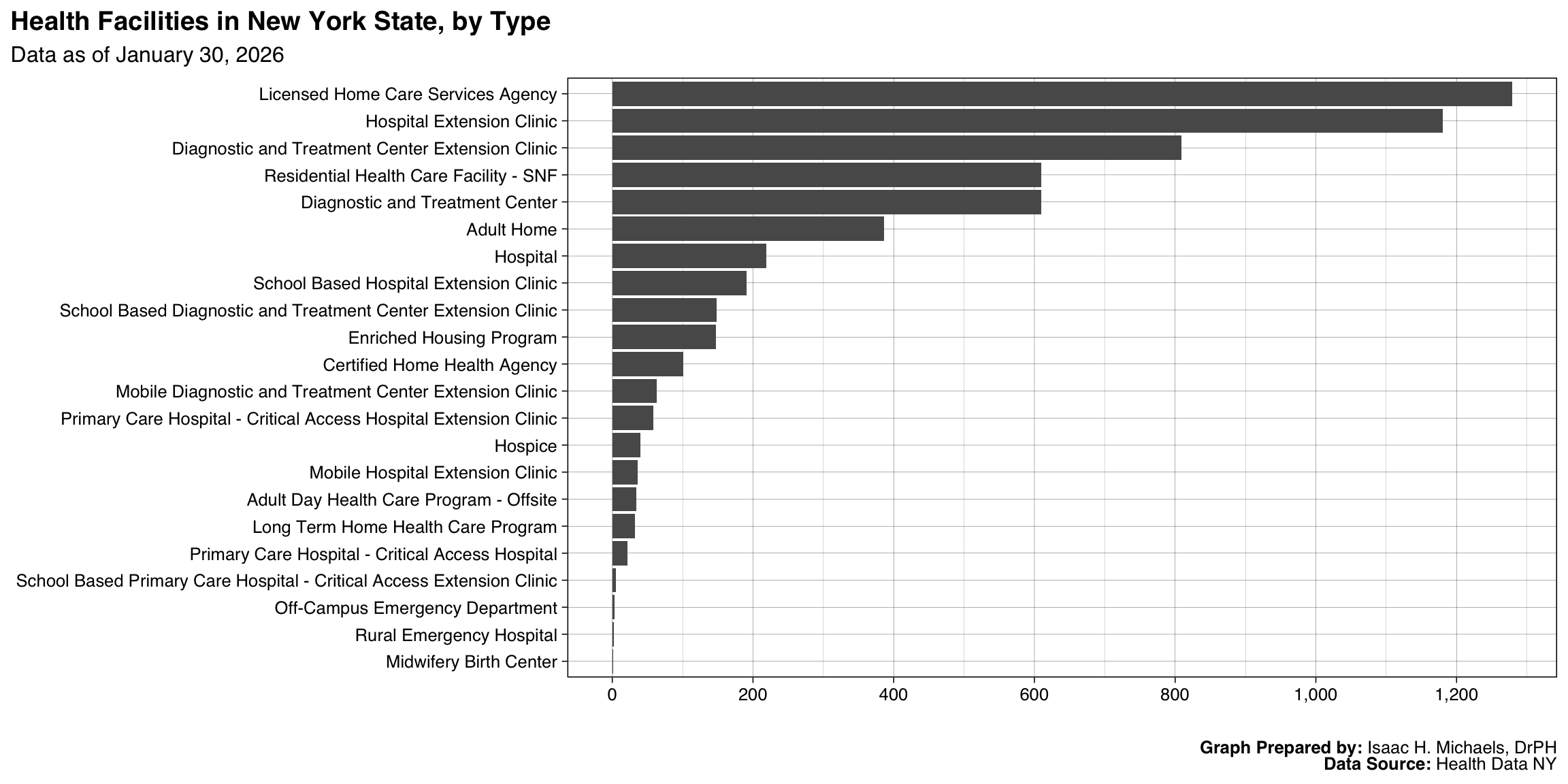
The interactive map uses data from the Health Facilities Information System (HFIS) and currently displays the locations of the following facility types: Hospitals, Hospices, Residential Health Care Facility - SNF, Diagnostic and Treatment Center, Certified Home Health Agency, Hospital Extension Clinic, School Based Diagnostic and Treatment Center Extension Clinic, Diagnostic and Treatment Center Extension Clinic, Mobile Diagnostic and Treatment Center Extension Clinic, School Based Hospital Extension Clinic, Primary Care Hospital - Critical Access Hospital Extension Clinic, Adult Day Health Care Program - Offsite, Mobile Hospital Extension Clinic, Long Term Home Health Care Program, Primary Care Hospital - Critical Access Hospital, and School Based Primary Care Hospital - Critical Access Extension Clinic, Adult Care Facilities.
Implications for public health practice
Having access to the locations of healthcare facilities is crucial for public health practice. It allows public health professionals to identify areas of the state that may be at risk for healthcare access disparities and to plan for future healthcare needs. These data can also be used to track the progress of healthcare initiatives, and to identify areas of the state that may have a shortage of healthcare facilities of certain types.
 Graph Prepared By: